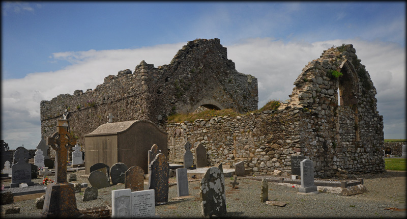
Bannow St Mary's Church, Bullaun Stone and Graveslab The parish church of St Mary's, Bannow, is all that remains of a once thriving medieval town. The fortified church was probably founded by monks from Canterbury in the latter part of the 12th century. In 1245 CE the church was under the Cistercians at Tintern Abbey and was still held by them at it's suppression in 1538 and according to records it was still impropriate to Tintern in 1615. The church is situated on a relatively flat headland at the mouth of Bannow Bay. Robert FitzStephen, the first Norman invader, landed at Bannow Bay in May 1169 CE.
|
|
|---|---|
|
|
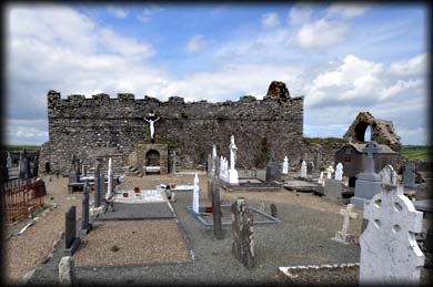
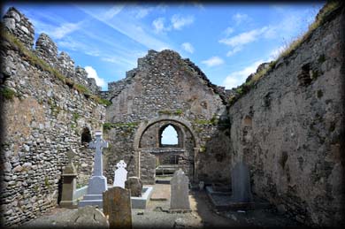
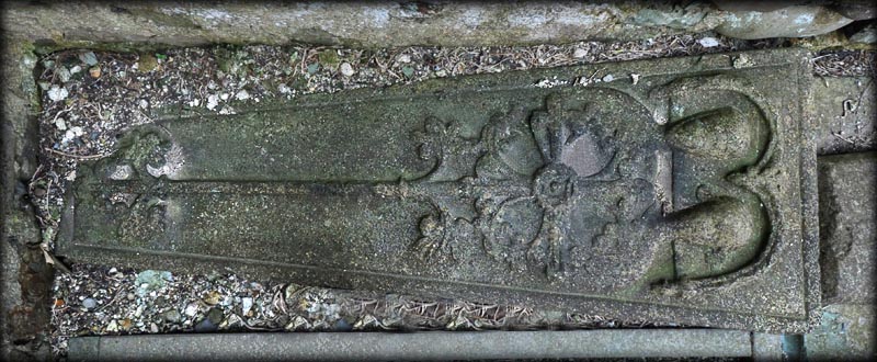
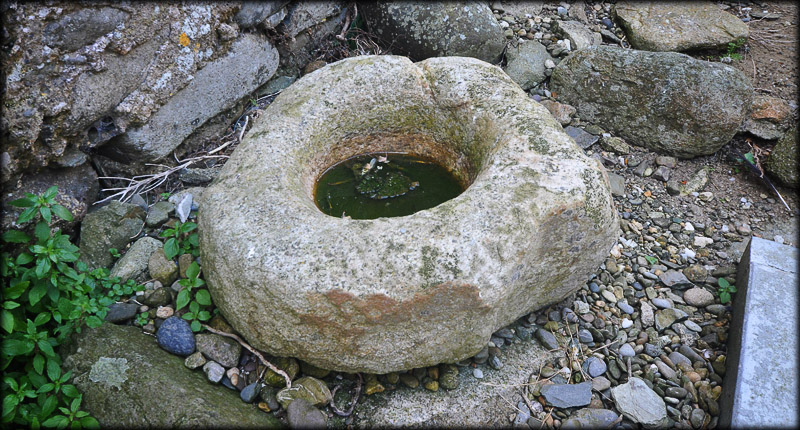
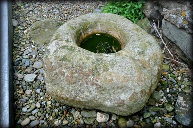
The church consists of a nave and chancel, with an entrance in the south wall of the nave. There was also an entrance in the north wall, but that is now blocked by a mausoleum. Entry to the chancel is through a round arch with dressed voussoirs. The church was fortified in the 14th century when the crenellations and wall-walks were added. In the southeast corner of the, 21 metre long, nave and several medieval funerary monuments. These include the double head graveslab pictured below. It bears a floriated cross and an inscription commemorating Joanes Colfer and Anne Lusgin. There is a partially blocked window in the east wall of the chancel with the remains of tracery. Also present in the chancel is another graveslab. A beautifully decorated Romanesque font was moved from here to the Roman Catholic Church in Carrick-on-Bannow. I would recommend a visit to the font and the small wayside crosses, located at the crossroads in Carrick.
|
|
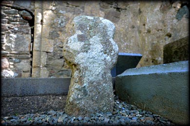
Stone cross |
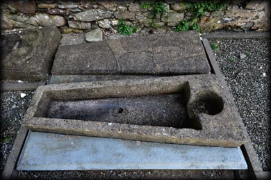
Medieval coffin with lid |
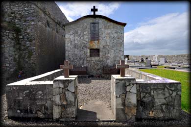
Modern tomb of Prince Michael of the Saltees |
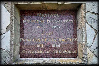
Memorial Plaque |
Situated: From Carrick-on-Bannow take the R736 west. After 1 kilometre keep going straight (Cul-de-sac). Then 3.8k turn right. Then 500 metres turn left. you can see the church from here. Discovery Map 76: S 8241 0721. Last visit June 2016. Longitude: 6° 47' 39" W Latitude: 52° 12' 38" N Photos: Jim Dempsey |
|